Friday, May 13, 2011

Haslam Creek and Trans Canada Trail

After giving my ankle 5 complete days off from any activity (other than work), I started back hiking on Monday May 9th. This time I decided to check out the Haslam Creek area. It took me a bit to find the area as there were plenty of "No Entry" "No Trespassing" signs that scared me into venturing further. My friend Kris told me to keep going though, so in the end I found the entry to the trail. 

 
Part of the Trans Canada Trail (for those who do not know, the Trans Canada Trail is the world's longest network of trails. When completed, the Trail will stretch 22,000 kilometers from the Atlantic to the Pacific to the Arctic Oceans, linking 1000 communities and 33 million Canadians. Today more than 16,500 kilometers of trail have been developed.)


Happy to be hiking again (ignore the dark bags under my eyes)

Not far into the hike

After just under 1km of hiking, I came to the Haslam Suspension Bridge. I have lived in Nanaimo my entire life (except 2 years I spent in Australia) and yet I have NEVER been here before. Unbelievable! 

Photo Op!

Bridge info!

Map of where I was going to hike. I complete about 1/3 of the trail, almost reaching Spruston Road (first horizontal black line near McKay Lake). 

After the suspension bridge, a lot of the hike is on back roads like this.
  
After a short steep incline, I found myself looking out over some clear cut areas =(

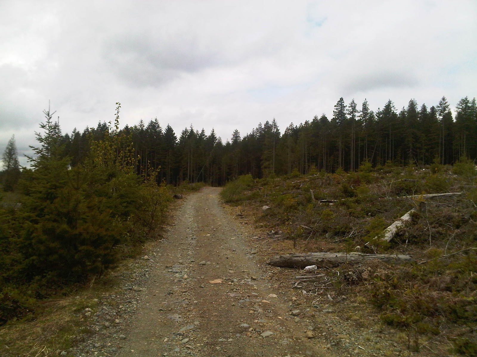
More back roads. Honestly I was a bit disappointed as it was very open and boring.

Still on track!

I reached Timerbland Lake!

Which is apparently popular with people on quads. Fire anyone?

Another photo op!

Haslam Trail changes to White Pine Trail. Just before this I ran into the only person I ever saw (a lady with her little dog). 

Heading up into the bushes!

It was honestly a little scary being in what seemed like the middle of nowhere alone; however, I was cautious and paid attention to my surroundings! Never saw any animals, not sure if they saw me though?!

Finally some trails!

I tried to reach Spruston Road; however, after 65 minutes I had no idea how close I was to the road, so I turned back. This photo looks back towards the forrest area where I just was.

Can't complete a West Coast Hike without this stuff!

Heading back down the steep embankment towards Haslam Creek

Looking back up the way I just came

Last trail before the bridge.

I kind of hiked/ran part of the way back, completing the hike in just over 2 hours. It was a good hike. Although it is not very scenic like previous hikes, you definitely have the ability to walk for hours.
 

Holland Creek and Heart Lake

I opted to go somewhere new on Tuesday May 3rd, traveling south to Ladysmith. It was really only about a 15 minute drive from my place so not far to go at all. I parked near the Dogwood Parking lot and looked for brochures which I had heard were awesome, but there were none today. I headed off not really knowing where I was going.


Hike started out very peaceful
 

Holland Creek
 

It wasn't long before I realized I had taken off on a "difficult trail" and difficult is right as my heart was pumping in no time as the hills started to take me way above the creek in which I started beside. 
 Going Up?
 

More Ups!
 

Creek is somewhere down there
 
It went back down slightly so I got closer again
 
Waterfall along the way

Top of the waterfall

I came to the top end of Holland Creek and saw a sign to get to Heart Lake. I met a lady there, who said it was really easy to find and well marked. A quick look at the time to see how far I had gone and then I decided to head off and investigate. I had no idea how long it was going to take me to get to Heart Lake, but I figured I would head that way and turn around if necessary. After walking on some back roads for a bit, I found the map at the base of the Heart Lake Trail.
 

Of course I opted to take the short difficult trail to the lake!

 Start of the trail

Off I went on a hike straight up the mountain side to the lake. I am not kidding when I say straight up. It was straight up with lots of switchbacks. My heart was pounding and I felt so out of shape!

I hit the 45 minute mark and debated turning around as I only wanted to do a 90 minute hike. But the stubbornness in me knew that the lake couldn't be THAT far away, so I kept on going. I reached the lake after 55 minutes of hiking. 

Of course I stopped and took some photos. I saw the trail went around the lake, but didn't have time to do that, so after some photos I headed back down the way I came. 
 
On the way down I stopped at the rock bluff look out. There was a good view looking over Ladysmith towards Georgia Straight. Technically Ladysmith is at the 49th parallel, so looking out over the water would be around the Canada/USA border.

On the way down the trail is when disaster hit. I went down the difficult trail as I had no idea how long taking the easy trail would be. I only knew it took me 55 minutes from Dogwood Road to Heart Lake via difficult trails. Going down the difficult trail not far from the lookout, I was slipping and sliding my way down. I stepped off a little ledge and the next thing I knew, I rolled over on my right ankle. 

I instantly felt pain and sat down, swore and felt like crying. Then I decided I had no choice but to keep going. How else was I going to get down the mountain? The idea of being rescued wasn't an option for me. I hobbled my way down the rest of the way back towards Holland Creek. I had a bit of a limp at first, but then it turned out not too bad and the more I walked, the better it felt.
 
A sprained ankle didn't stop me from taking more photos!

I took the easier trail back from the top end of Holland Creek. That kept me fairly level with the creek.

What is a hike without this nice aroma!

I got back to my car after 1 hour 50 minutes of hiking and as soon as I started to drive I felt the pain again. My foot did NOT like the position needed to switch from brake and gas. I got home as quick as possible, put some ice on my ankle along with elevation. Of course I had to take a photo to compare the swelling. Just a little swelling, but luckily no discolouration.  Hard to see, but the right is a bit bigger than the left (sorry its a photo from my phone).
 

Unfortunately I couldn't ice and elevate it for long as I had to go to work that evening. I wrapped it in a tensor and hobbled around work. Thankfully I had the following 2 days off, so I went and saw Joe at Island Optimal for some ART in which he then put some fancy Kineseo tape to get rid of the swelling. At least the pink matches my pink Saucony Kinvara's!

This sprain then kept me out of hiking until the following Monday.

Tuesday, May 10, 2011

Exploring Hemer!

The Saturday and Sunday (April 30th and May 1st) after my Cable Bay hike, I was busy in Port Alberni with the NDSS high school track team so I was unable to fit in any hikes. I did get a nice sun burn on my head where my hair part was. That became fun a week later, when it peeled and became itchy. Note to self to wear a hat or make sure I have no hair part next time! There were many great performances with each of our kids qualifying in some way for the Island Championships (May 18th and 19th).

I got back into the hiking on Monday morning. I decided to stay close to home and opted to hike in Hemer Park. I run through this park all of the time; however, there was one trail that I didn't know where it went so I decided to explore it. You see, when I run, I tend to have timed routes so if I have a 45 easy run I have a set route. If its 60 easy, its another route etc. This hike was the perfect time to just simply wander around. 

It turns out the one trail that I thought simply went on the far side of the water and back to an upper field, ended up leading to an upper loop that was a decent distance in length. I ended up wandering around for about 90 minutes total. 

Welcome to Hemer Park!


View from the Parking Lot
 
Trail Map
View from the lookout
 

Stream
 
Lots of this today!
 

 Never even knew this pond existed!

Familiar Aroma!

One of many friends I met along the way

Loving the new trails!

Some large puddles along the way
 

At this point, I figured this was the end of the road and decided that I would try to go further in the summer when the water levels went down. This was a nice STINKY deep puddle overflowing from the pond on the right.
 

That was until I found a way climbing through the bushes
 

View from the other side. I didn't get too far, finding WAY more mud and puddles and before I knew it I turned back the way I came. 
 

I have run this trail 100's of times!

The result of winter 2010. A huge tree fell down. 

This muddy from only walking!